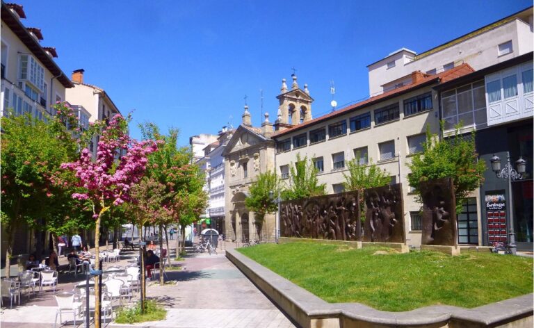
The planet is in a situation of transformation and uncertainty on a global scale. Climate change, energy transformation, and the social and economic changes that these transformations bring with them generate different risks for both cities and citizens. The search for solutions to face this situation is therefore an essential task to safeguard our environment and people’s quality of life.
The application of new technologies in the search for these solutions plays a key role, providing a virtual support that facilitates the generation, collection, interpretation, valorisation and dissemination of information.
Traditionally, spatial representation technologies have been limited, in many cases, to a graphic and static representation of the information, which, although of great informative utility, is small in comparison with the challenges that cities have to face in their urban transformation. The complexity required, both technically and in terms of effort, to create dynamic models and simulators that provide updatable information and dynamic results based on initial conditions, was excessive.
However, advances in Geographic Information Systems (GIS) technologies and statistical analysis software have gone a step further and have included functionalities that allow taking the static results of a graphical visualisation such as a map to dynamic online visualisations in which it is possible to select the variables of interest, navigate through a 3D city simulator and modify the starting conditions to simulate the impact of the adaptation measures to be implemented.
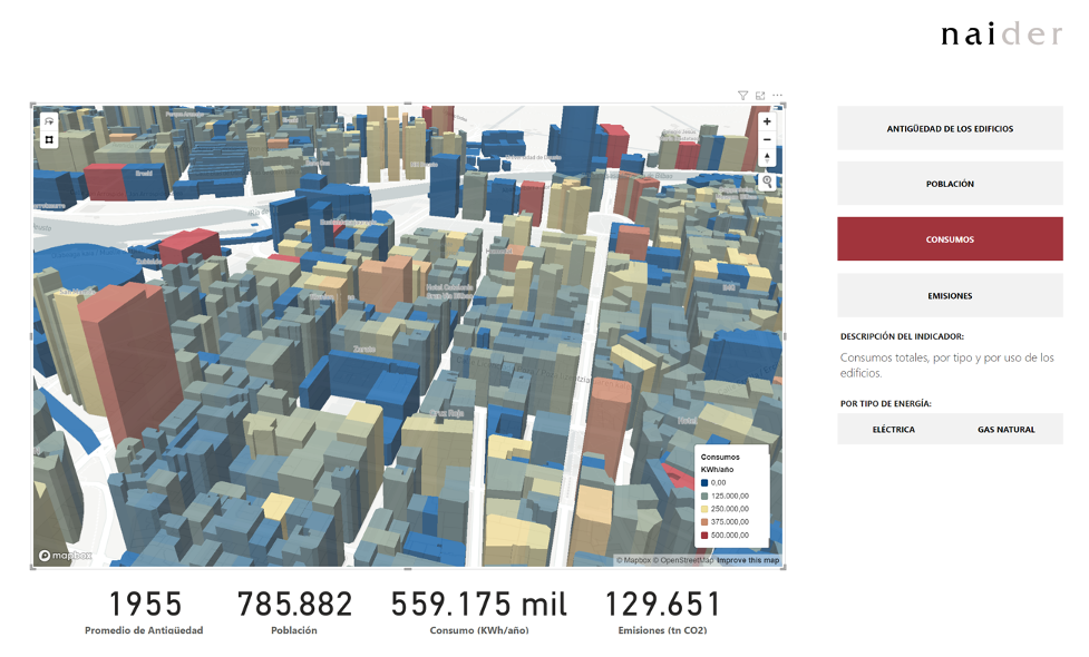
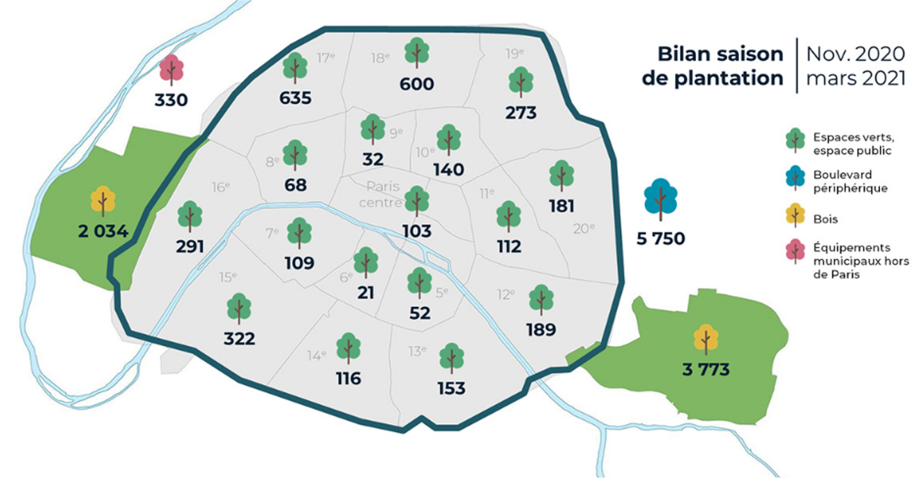
These digital tools, now accessible to a greater number of public and private entities, make it possible to generate simulations and forecasts of the impact of adaptation measures, estimates of a city’s needs, real-time representations and a huge number of other possibilities. For example, it is possible to estimate the increase in green space and woodland needed in a city to meet the standards proposed by Europe and international health organisations such as the WHO, and to measure the impact that this naturalisation of the city would have on lowering temperatures within the urban area.
Naider has been working with different administrations in the implementation of these tools in order to achieve a greener urban environment, friendlier to citizens and adapted to the challenges that cities and territories will have to face in the not so distant future.